According to a 2021 study published in Frontiers, Houston, Chicago, and Los Angeles have some of the highest per-capita emissions totals in the world. Data from the EPA shows that the transportation sector is actually the biggest source of pollution in the US, and that light-duty vehicles (or passenger cars) are responsible for 58 percent of those emissions.
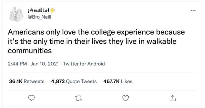
Reducing driving is difficult, however, because American cities are built for drivers. Biking and walking are often not options, and public transit, where it exists, does not typically serve trips that do not involve going from a city’s outskirts to its downtown or back. Jeff Speck, a city planner and the author of Walkable City, says that “[local travel] is typically organized around the assumption of driving as the only viable transportation mode.”
Many of the car trips that people take are within biking distance, but people may choose to drive because riding would be dangerous. They might have to cross a highway or bike down roads where there are no bike lanes. Places where bike ownership thrives — which can be as big as a city like Amsterdam, which has such a widespread bike network that cycling is favored over driving, or just a college campus — have prioritized bike and pedestrian safety over cars.
By adding protected bike lines — separated from car lanes by a barrier for safety — biking becomes a safe, accessible alternative to shorter drives. Essentially, bike lanes have to be set apart by something other than “a scrap of paint,” said Ralph Buehler, the chair of Urban Affairs and Planning at Virginia Tech. Speck’s research has found converting 12- to 14-foot-wide driving lanes into 10-foot-wide lanes slows average car speeds from 40 miles per hour to 25 miles per hour and creates room to either add bike lanes or street-side parallel parking, which better protects the sidewalk from traffic.
Studies conducted in cities that have made such changes have found marked decreases in car use. Oslo has redesigned its roads in high pedestrian traffic areas, such that 91 percent have speed limits under 40 miles per hour, while expanding its system of bike lanes. It saw a 77 percent increase in bike traffic between 2014 and 2020. In Philadelphia, an investment in miles of protected bike lanes led to a nearly 70 percent increase in the number of people who biked to work from 2010 to 2017.
On its face, single-family zoning creates quiet, uncrowded neighborhoods. It’s incredibly prevalent in the US (75 percent of residential land is single-family zoned). In areas zoned for single families, there can be little development; the idea is people live in one area and then access workplaces, leisure activities, and stores via car. “We zoned and created bento boxes,” said Brian Jencek, the director of planning at HOK, a planning and design firm. “Never let the gravy and rice touch. … Now we want stew, but we have to undo over a century of American planning.”
The best way is to create mixed-use development, which facilitates what Jencek calls the 20-minute city. But in most American suburbs, single-family zoning does not allow for it. Eliminating single-family zoning in areas that are within walking distance of transit stops would encourage the development of commercial spaces, which would benefit residents in the area; and those not living near the new services would be able to access them via public transit, lessening the need for a car.
While increased development is often associated with rising property values and gentrification, Jencek said mixed-use development, done with community input, can create the economic benefits of development without pricing people out. The end result of rezoning does not necessarily mean a complete overhaul of a community. It could just mean adding a one-acre community park to a neighborhood without recreation access or creating a network of safer, slower streets to invite restaurants to expand their outdoor seating.
Analysis
This article talks about the prevalence of driving in American society, particularly in the suburbs. The prioritization of personal vehicles is entrenched in American urban planning, which makes travel difficult for people who would prefer to walk or bike places, or simply do not own a car. The author of this article consults with a variety of urban planners, transportation scholars, and advocates about how to lessen America’s reliance on cars. The article is an assortment of proposals for how this can be done at the municipal level, which is much more manageable than trying to introduce policies on the national scale. I think this article will be a very useful reference as I continue with my project, as it parallels the scope of my project with changes that can be made at a local level. Making changes to the zoning of Upper Arlington is not something I will be able to tackle in a single semester, but there are some interesting points about designing for pedestrians and cyclists as well as planning around pre existing public transportation stops.


